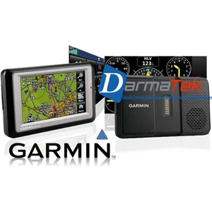
Detail GPS Aera 500
Garmin aera 500 merupakan GPS yang bisa digunakan di udara ( aviation mode) dan di jalan ( automotive mode) Layar 4.3 inch touchscreen QVGA. High sensitivity receiver ( WAAS enable) untuk tingkat keakurasian yang tinggi.
Spesifikasi :
Physical & Performance:
Unit dimensions, WxHxD: 5.3" W x 3.3" H x .9" D ( 13.5 x 8.4 x 2.3 cm)
Display size, WxH: 3.81" W x 2.25" H ( 9.7 x 5.7 cm) ; 4.3" diag ( 10.9 cm)
Display resolution, WxH: 480 x 272 pixels
Display type: touchscreen WQVGA color TFT with white backlight
Weight: 9.5 ounces ( 270 g)
Battery: removable, rechargeable lithium-ion
Battery life: up to 5 hours ( less with full backlight and options)
Waterproof: yes ( IPX7)
Voltage range: 11-35
Receiver: high-sensitivity with WAAS position accuracy
IFR or VFR: VFR
Maps, Databases & Memory:
Basemap: yes
Navigation database ( includes Jeppesenà ‚  ® data) : yes
Types of Jeppesen data: full and ARTCC, FSS frequencies and final approach waypoints
Navigation database coverage areas: Americas or Atlantic or Pacific
Preloaded Terrain database: yes
Preloaded Obstacles database: yes ( U.S. and Europe only)
Preloaded SafeTaxià ¢  „  ¢ airport diagrams: not available
Preloaded AOPA Airport Directory: not available
Preloaded Garmin FliteChartsà ‚  ® : no
Preloaded low & high altitude enroute airways: yes
Preloaded private airports: yes ( U.S. only)
Preloaded street maps: yes
Ability to add maps: yes
Accepts data cards: yes ( microSDÃ ¢ Â „ Â ¢ cards)
Built-in memory: internal solid state
Waypoints/ favorites/ locations: 3, 000 ( aviation mode) ; 1, 000 ( automotive mode)
Routes: 50
Tampilkan Lebih Banyak