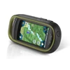
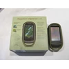
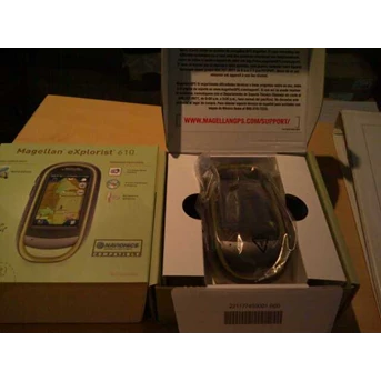
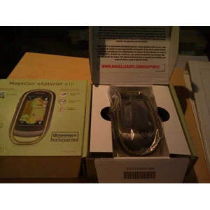
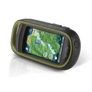
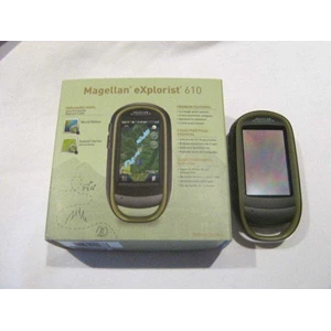
eXplorist 610
Premium, rugged, handheld GPS with camera, electronic sensors, and topographic maps to record all your actions and navigate the outdoors with precision
- Summit Series USA Topographic Mapping
- 3-Axis Electronic Compass
- Barometric Altimeter
- 3.2 mega-pixel Camera with Auto Focus
Specification :
Device
- Dimensions (English) 2.57" x 5.04" x 1.45"
- Dimensions (Metric) 65.3mm x 128mm x 36.8mm
- Weight (English) 6.87oz
- Weight (Metric) 195g
- Battery Type 2xAA
- Battery Life 16 Hours
- Camera Yes
- Microphone Yes
- Waterproof IPX-7
- Speaker Yes
- Available User Storage 500 MB
- CPU 400MHz
- Expandable Memory microSD
- Temperature Range (F) 14F to 140F
- Temperature Range (C) -10C to 60C
- Suspend Mode Yes
- Internal Memory 4 GB
Screen
- Display Resolution, WxH WQVGA, 240 x 400
- Screen Size 3.0"
- Display Type Color, Transflective
- Touch Screen Yes
GPS & Sensors
- GPS Accuracy Up to 3-5 meters
- High-Sensitivity GPS SiRFstarIII™
- Antenna Type Multidirectional Patch
- 3-Axis Electronic Compass Yes
- WAAS/EGNOS/MSAS Yes
Mapping & Navigation
- Preloaded Maps World Edition + Summit Series USA
- Uploadable Maps Yes
- Points of Interest Yes
- Turn-by-Turn Routing Yes
- Vertical Profile Yes
- Area Calculation Yes
- Hunt & Fish Calendar Yes
- Sun & Moon Information Yes
- Coordinates Systems & Datums Yes
- User Grid Yes
- OneTouch Favorites Menu Yes
- Audible Proximity Alarms Yes
- Silent Proximity Alarms Yes
- Navionics® Map Compatible Yes
User Generated Content
- Accepts GPX Files Yes
- Waypoints 2000
- Routes 200
- Geocaches 10000
- Legs Per Route 500
- Paperless Geocaching Yes
- Picture Viewer Yes
- Tracks 200
- Points Per Track 10000
- User Data Online Sharing Yes
Interface & Communications
- Communication Protocol USB Mass Storage
- USB Port Yes
- NMEA Output Yes
- PC Compatible Yes